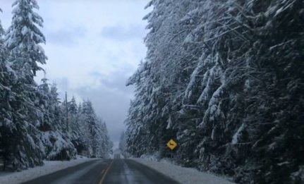
COURTENAY, B.C- Snow could be headed to the Comox Valley.
A special weather statement issued by Environment Canada is warning residents of Vancouver Island about incoming winter weather. According to the notice, a low pressure weather system from northern Washington will be combining with Pacific moisture near the B.C. border.
“The resulting weather will be a mixture of rain and snow beginning tonight over most South Coast communities,” read the notice.
“Snowfall amounts will vary significantly from region to region and especially with elevation.”
East Vancouver Island and Victoria are expected to be the snowiest regions, with passes such as Malahat and the Hump getting snowfalls of five to ten centimetres.
“Communities away from Georgia Strait will also be the most likely to see some snowfall accumulations,” read the notice.
“Over the mainland South Coast there will be lesser snow amounts with about five centimetres of accumulation over higher urbanized communities. Howe Sound and Whistler will get closer to 10 cm Tuesday.”
The precipitation is expected to ease Tuesday night, with a break in the weather by Wednesday. The snowfall on Tuesday should melt by Wednesday as well.
The following areas fall under the advisory.
East Vancouver Island – Courtenay to Campbell River
East Vancouver Island – Duncan to Nanaimo
East Vancouver Island – Nanoose Bay to Fanny Bay


