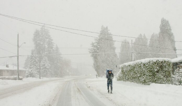
Periods of snow changing back to rain can be expected this week on the Island and Sunshine Coast as multiple cold weather systems come in and out of the area.
According to Environment and Climate Change Canada meteorologist Derek Lee, cool air over the area is going to mix with a warm and wet Pacific system tomorrow (Tuesday) afternoon and into Wednesday.
He says this could bring snow to low-lying parts of the Island and Coast, but it will still be warm and snow levels could vary a lot.
“What we’re looking at is around maybe a local two to five centimetres for inland areas with higher terrain probably seeing five to 10 centimetres near the spine of the island,” said Lee.
“The continued flow of warm air from the Pacific will be there by Wednesday morning. So, we don’t really expect these amounts to stick on the ground, it can just be washed away and melted by the rain quickly.”
Lee says this means there could be some less-than-ideal driving conditions on people’s commute home from work.
While the snow is supposed to wash away on Wednesday, more systems are coming through that could bring snow.
Lee says this happens whenever we get warm fronts from the Pacific. This is normal for the area, and the amount of snow will depend on how much these systems cool down the local areas.
“Right now, we’re looking at about the same amount of what we could see tomorrow afternoon, maybe on the lighter side during the night period,” said Lee.
“Nighttime periods are naturally going to be cooler, so if the systems do come in the nighttime, we’ll see a higher chance of snow once again.”
Because temperatures are still mild, Lee says he does not expect much in the way of flooding. However, in difficult road conditions like “rainslush,” you should keep an eye on the forecast and plan your driving accordingly.


